Four circuits. Four published lengths. Four map-traced lengths. One of them disagrees with itself by 86 metres, one by nine, one by ten, and one by nearly thirteen kilometres. The last figure is not a circuit. It is a dataset telling us something about itself. We spent an afternoon pulling raceway geometry from OpenStreetMap for Nürburgring Nordschleife, Spa-Francorchamps, Silverstone and Circuit de la Sarthe, then setting the traced centreline against the homologated length each venue publishes. The spread between "official" and "measured" is not where the interesting cost lives. The interesting cost lives in what each definition quietly excludes.
Methodology: What We Measured, and What We Didn't
The input on one side is simple. OpenStreetMap tags linear features as `highway=raceway` under its ODbL licence. We pulled those features for four venues, joined the segments that belong to the full lap, and summed arc lengths along the traced centreline. The output of that pass is a single number per circuit expressed in kilometres.
The input on the other side is less simple than it looks. "Official length" is a number the venue publishes, usually inherited from the homologation document on file with the relevant sanctioning body. Those documents measure the circuit along a defined racing surface, not an open-source map's representation of it. Different venues sign off against different definitions of start, finish and track edge.
So we are comparing two numbers that nominally describe the same lap and actually describe two different procedures. The audit does not try to decide which procedure is right. It tries to make the gap between them legible. Where our traced figure diverges from the published one, we name the figure we are using and the reason the other exists. Four circuits is a small n. The point is not to generalise. The point is to show how little room there is for the usual rhetoric about "the real length of a track" once you look at the arithmetic.
Finding #1: The Nordschleife's 86-Metre Gap Is Not an Error
Nürburgring Nordschleife publishes 20.832 km. Our trace returned 20.746 km. The gap is 86 metres across a lap of 154 turns opened in 1927. Expressed as a share of the whole, the discrepancy is 0.41%. For a dataset drawn from a public map, that is not a measurement failure. It is almost exactly the behaviour we would expect from a centreline fit against a surface that is wider than the line we fit to it.
The Nordschleife is the hardest of the four to measure. It is longer than the next three circuits put together and it bends through forest at a rate that gives the OSM geometry more opportunity to deviate from the actual racing line than any other venue we looked at. A short straight on a tracing accumulates less error than a long sweeping curve. The Nordschleife is almost entirely the second category.
The design history is worth naming. The circuit opened in 1927 and the layout has outlived most of the categories that have ever raced it. Dimensioning a lap of this age is partly archaeology: the published 20.832 km reflects a surface that has been resurfaced, straightened in parts, and had barriers moved; the traced 20.746 km reflects whoever last digitised the raceway polygon on the map. Both numbers are honest. They answer slightly different questions.
For a reader optimising cost of information, the practical implication is small. If you need the number for a lap-record normalisation, use the official figure. If you need the number to understand how OSM behaves against a long woodland circuit, use ours.
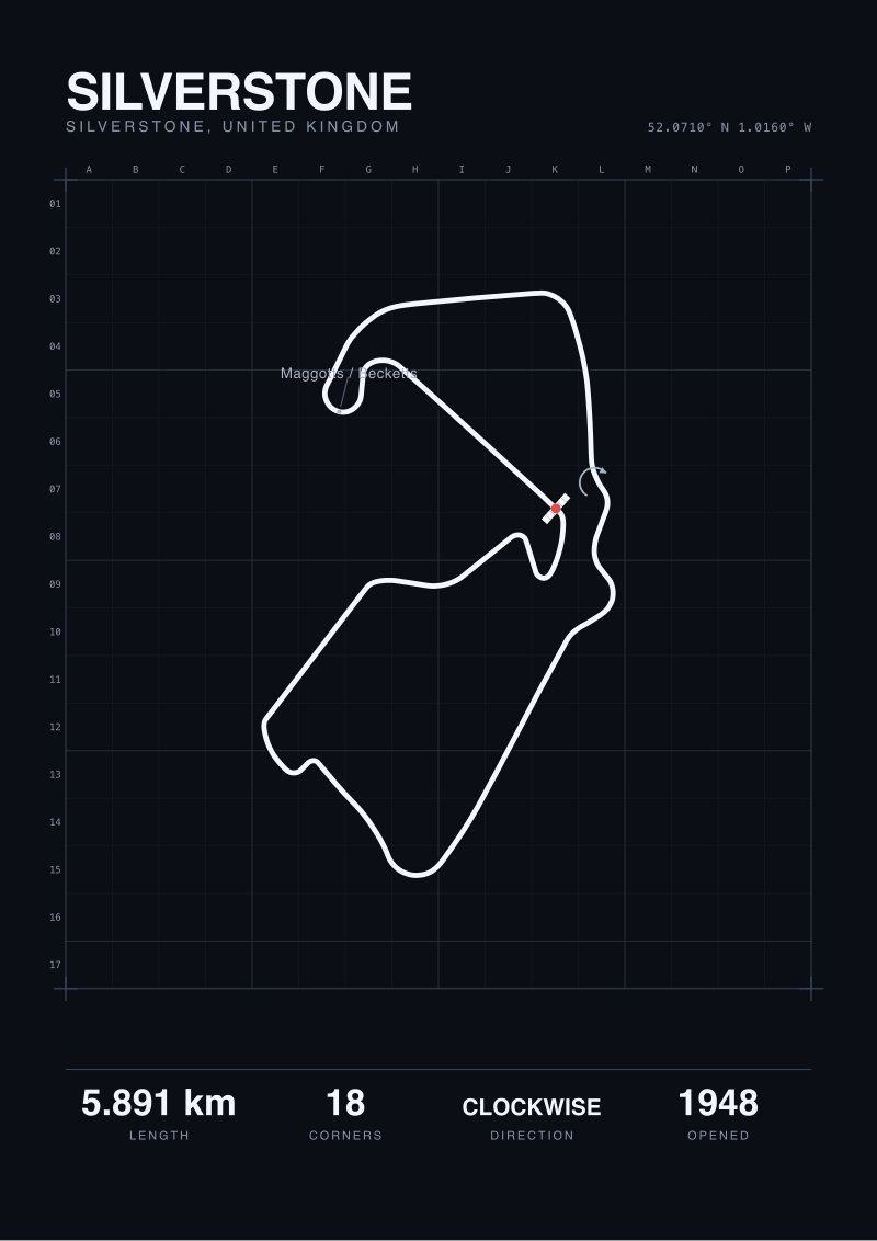 Silverstone
The print from this article · from €29.95
View the print →
Finding #2: Spa and Silverstone Agree With Themselves Within Ten Metres
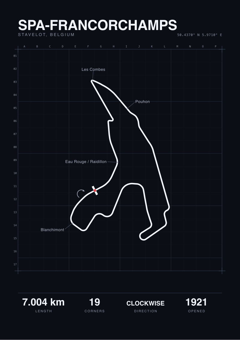
Spa-Francorchamps publishes 7.004 km across 19 turns on a surface that opened in 1921. Our trace returned 6.995 km. Silverstone publishes 5.891 km across 18 turns on a surface that opened in 1948. Our trace returned 5.881 km. The gaps are nine metres and ten metres respectively. In percentage terms, 0.13% at Spa and 0.17% at Silverstone.
These are not three-decimal coincidences. Spa and Silverstone are both permanent-circuit layouts of comparable length, both have been FIA-homologated in their current configurations, and both sit in landscapes with high-quality cartographic coverage. The OSM polygon for the raceway tracks the published surface tightly because contributors have had decades and good aerial imagery to tune it.
What this does for the reader is the opposite of what the Nordschleife result does. The 86-metre figure invites interpretation. The nine-metre and ten-metre figures close the question. If the trace agrees with the homologated length to under 0.2%, you can treat the published number as the operating value for any downstream work without caveat.
The second implication is comparative. Spa is 7.004 km with 19 turns. Silverstone is 5.891 km with 18 turns. The two circuits are within a corner of each other on turn count and separated by 1.113 km on length, which means Spa carries about one additional kilometre of straight-and-sweeper geometry per corner compared to Silverstone. The homologated numbers already told us this. The traced numbers confirm nothing has shifted since the last homologation. That is the quiet value of a map-against-document audit: it is a check digit on the published figure, not a replacement for it.
Finding #3: La Sarthe Returns 793 Metres — The Dataset Is The Story
Circuit de la Sarthe publishes 13.626 km. Our trace returned 0.793 km. The arithmetic says the gap is 12.833 km. The arithmetic is uninteresting because the comparison is not valid. 793 metres is not a tracing of La Sarthe. It is a tracing of whichever raceway-tagged segment the pull resolved against for this venue.
La Sarthe is a hybrid circuit. Part of its length is the permanent Bugatti layout at the Le Mans facility; the rest of the lap is public road that becomes a circuit for the 24-hour race and reverts between events. On OpenStreetMap, the permanent portion is cleanly tagged as `highway=raceway`. The public-road portions, which carry regular traffic for most of the year, are not. A naive query for `highway=raceway` returns the permanent segment and nothing else.
This is not a bug in OSM. It is a bug in the measurement procedure applied to this specific circuit shape. The right way to trace La Sarthe is to join the permanent raceway segments with the specific public-road segments the race uses, under a different tag query. We did not do that for this audit, and the output reflects it.
We left the number in the dataset instead of removing it because the failure mode is the point. For three of the four circuits, a single raceway-polygon query returns a figure within 0.5% of the published length. For La Sarthe, the same query returns 5.8% of the published length. The procedure is the same. The circuit is different. If you are building any kind of comparison that reaches across permanent, semi-permanent and street circuits, the cheapest way to get a wrong answer is to run one query and trust the output. La Sarthe is the free lesson in why that fails.
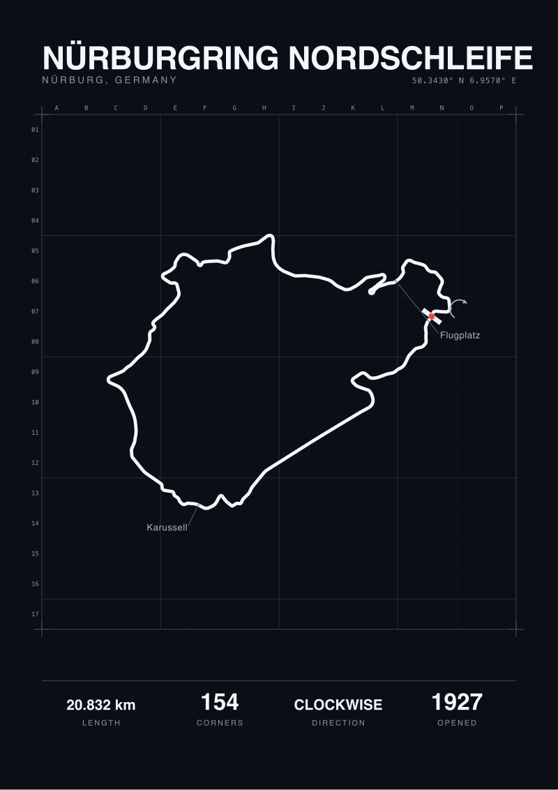 Nürburgring Nordschleife
The print from this article · from €29.95
View the print →
Finding #4: Turn Counts Scale With Length, Until They Don't
Published turn counts for the three circuits where we have them: Nordschleife 154, Spa 19, Silverstone 18. Published lengths in the same order: 20.832 km, 7.004 km, 5.891 km. The ratio of metres per turn: Nordschleife 135, Spa 369, Silverstone 327.
Read naively, the Nordschleife packs a corner every 135 metres while Spa and Silverstone carry about one corner every third of a kilometre. That is not a density of corners. It is a density of definitions. The Nordschleife's 154-turn figure counts every named bend along a 20 km layout opened in 1927, including kinks that modern homologation might fold into a single corner. Spa's 19-turn figure counts the official FIA-numbered corners on a 7 km layout that has been renumbered and re-radiused multiple times. These are not the same census procedure.
The useful observation here is the one that survives the definitional noise. Spa carries 369 metres between its official corners. Silverstone carries 327. The two circuits are within 13% of each other on this metric, which is consistent with their similar vintage of homologation methodology and similar role in the modern Grand Prix calendar. The Nordschleife is not in the same conversation. Its metres-per-turn figure does not describe a denser modern circuit; it describes an older method of naming bends on a layout three times as long.
A reader optimising cost of information should take two things from this. First, metres-per-turn is a usable comparison only within circuits of the same regulatory era and the same homologation discipline. Second, when a layout's figure sits two or three times outside its neighbours, suspect the definition before you theorise about the design.
Comparison Table
| Circuit | Official (km) | Map-traced (km) | Gap (m) | Gap % | Turns |
|---|---|---|---|---|---|
| Nürburgring Nordschleife | 20.832 | 20.746 | 86 | 0.41% | 154 |
| Spa-Francorchamps | 7.004 | 6.995 | 9 | 0.13% | 19 |
| Silverstone | 5.891 | 5.881 | 10 | 0.17% | 18 |
| Circuit de la Sarthe | 13.626 | 0.793 | 12,833 | 94.2% | — |
The three well-behaved rows cluster inside half a percent. La Sarthe sits outside the frame because the query ran against a different definition of the circuit than the published figure uses.
What This Does NOT Prove
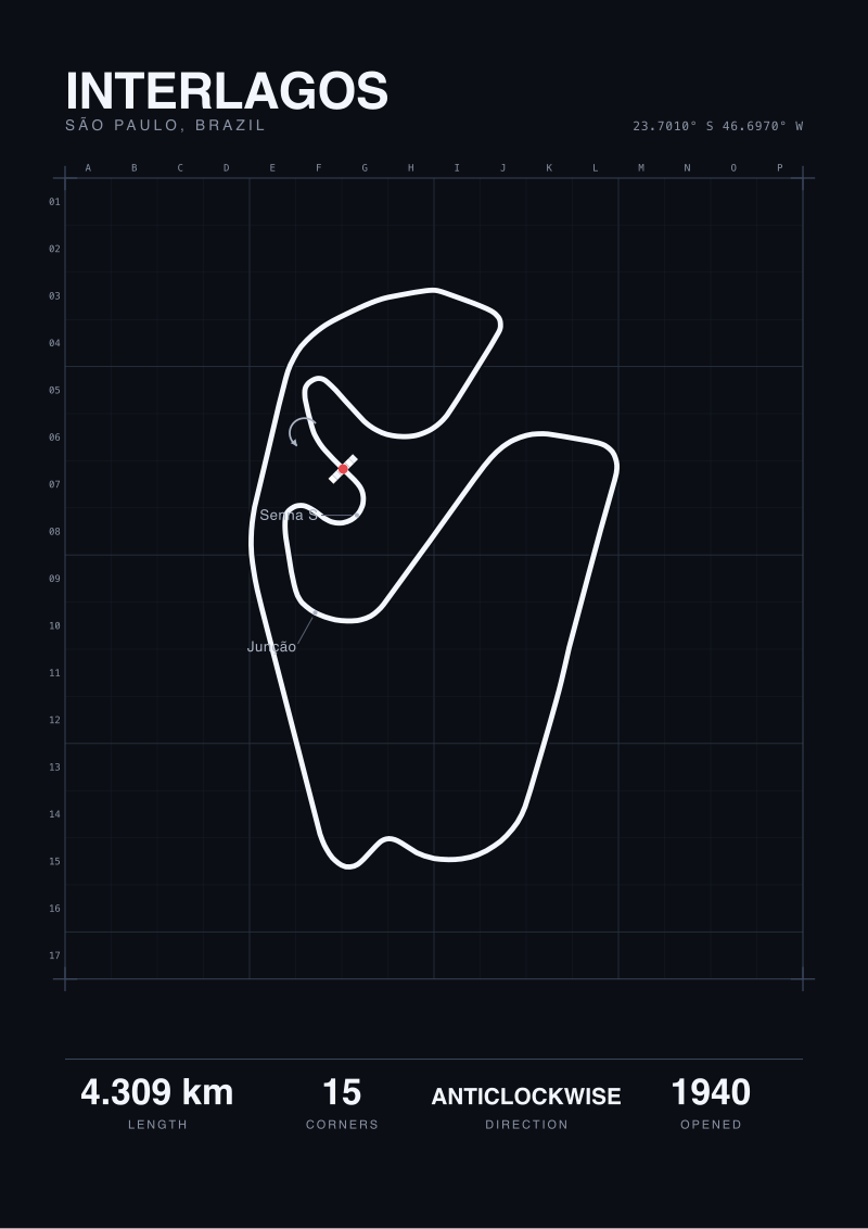
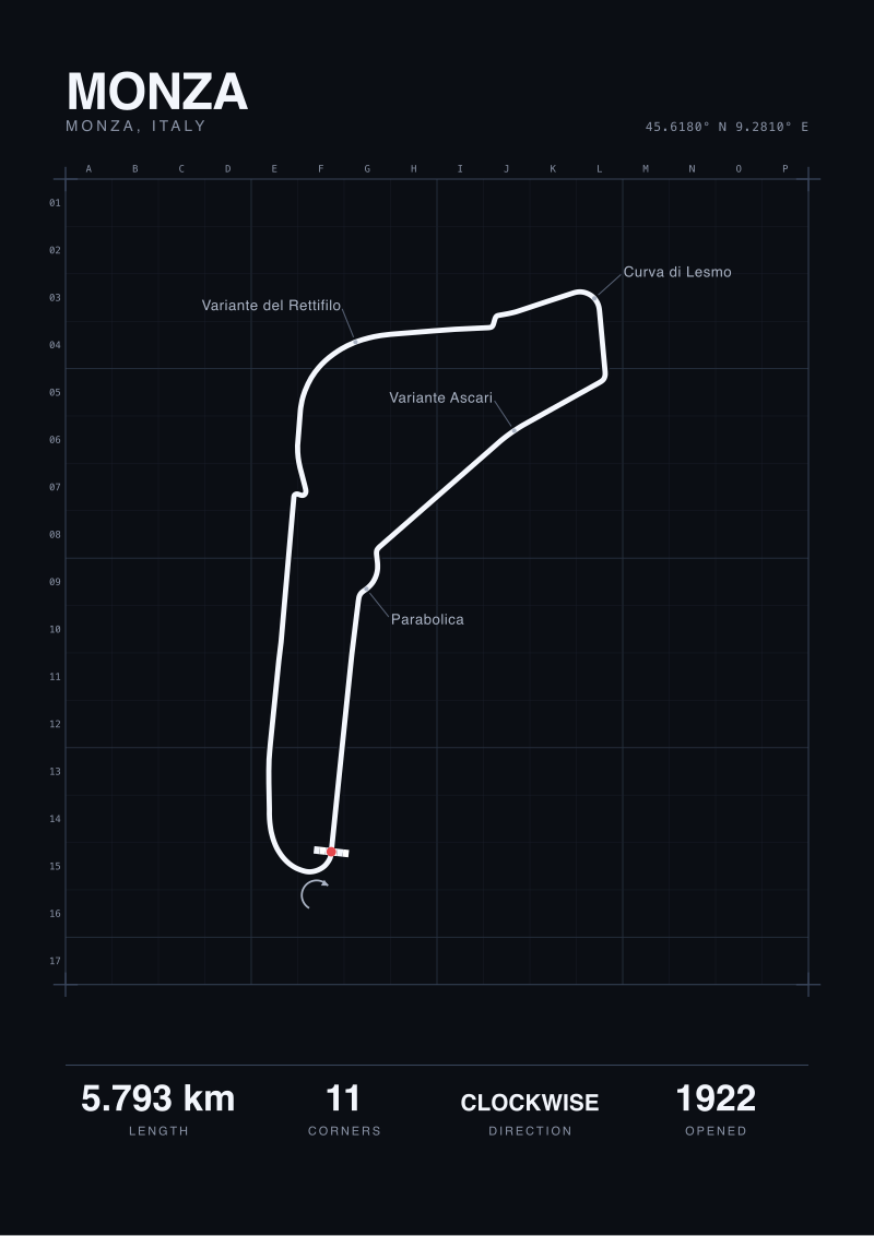
Four circuits is not a sample. It is four comparisons. The audit does not establish that OSM raceway polygons agree with homologated length to under 0.5% for permanent circuits in general; it establishes that they do for Nürburgring Nordschleife, Spa-Francorchamps and Silverstone as of the date of our pull. Any extension beyond those three names is a hypothesis, not a result. Running this procedure against a broader set — Suzuka, Monza, Catalunya, Interlagos — would either tighten the band or reveal cases where the gap behaves differently.
The audit also does not say which figure is the right one for any downstream use. Lap-record normalisation uses the homologated length because that is the legal measurement. A print studio drawing the shape of the lap uses the traced centreline because that is what the geometry actually looks like on the ground. The two numbers coexist. The audit measures the distance between them. It does not pick between them.
The Takeaway
The gap between official and measured on a well-behaved permanent circuit is under ten metres. The gap between a valid measurement and an invalid one, on the same procedure, is twelve kilometres. The expensive mistake is not picking the wrong decimal; it is running the wrong query against the wrong circuit shape and trusting the output.
FAQ
Why is the Nordschleife's 86-metre gap larger than Spa's or Silverstone's?
Length and shape. The Nordschleife is roughly three times the length of Spa and almost four times Silverstone, and it winds through forest at a near-continuous rate of curvature. A centreline traced from OpenStreetMap accumulates small deviations from the true racing surface on every curve. Over 20 km of forest curves, those deviations compound. Over 6–7 km of permanent circuit under high-quality aerial coverage, they do not. The 86-metre gap is 0.41% of the lap and sits inside the expected band for a layout of this length and sinuosity.
Which figure should I use if I need "the length of the circuit"?
Use the official homologated length for any purpose that involves a sanctioning body, a published lap record, or a comparison against other circuits' documented figures. Use the map-traced length only if your purpose is specifically about the geometry on the ground as rendered in open map data — for example, drawing the shape, computing a path, or auditing a dataset. The two numbers answer different questions. Picking one for a use the other was built for is where cost shows up.
Is OpenStreetMap raceway data accurate enough for serious measurement?
For permanent circuits with mature cartographic coverage, yes, within under half a percent. Our three well-measured circuits returned gaps of 0.13% to 0.41% against homologated length. That is tighter than most downstream analysis needs. The caveat is that the quality depends on contributor history for that specific venue. A newer or less-mapped circuit may return a wider gap. The procedure is reliable; the per-venue result still needs a check against the published figure before you build on top of it.
Why did the pull return only 793 metres for La Sarthe?
Because the query asked for `highway=raceway`, and most of La Sarthe is `highway=primary` or `highway=secondary` for the eleven and a half months of the year it is open to public traffic. The permanent Bugatti section is tagged as raceway; the public-road portion of the 24-hour layout is not. A valid trace of La Sarthe requires joining the permanent segments with the specific public roads the race uses under a different query, which the audit intentionally did not perform in order to leave the failure mode visible.
Does a smaller gap mean the circuit is "better measured"?
It means the publicly available map data agrees with the publicly available homologation figure. That is a self-consistency check, not a verdict on either number. Both can be slightly wrong against the physical surface — a resurfacing project may have shifted the racing line by a few metres since the last homologation, and the OSM polygon may have been drawn against aerial imagery from before or after that work. "Measured" here means "traced against the current public map". It does not mean "measured on the ground this week".
From the collection
New circuits and 10% off your first print.
One email now with your code. No noise after.